Ziga

Urdax to Amaiur (16 km)

Saturday, 1 October, 2016

As I set out that morning from Urdax in the rain, my host cautioned me that the path started 300 m from his door, just before the monastery, and that it was quite steep for the first part.  He advised me to take it slowly and eventually it would ease, but that it would continue ascending for quite a way.

He was not exaggerating.  And the smooth rounded stones of the path were extremely slippery, which made my progress even slower than normal.  I had spent most of the last twelve months in Montevideo, Cape Town (Green Point) and Uppsala, none of which are vertically challenged, so my body did not quite know what had hit it.

But eventually the incline did indeed ease and the thumping of my heart reduced to a less noticeable level.  I sometimes forget that carrying a relatively heavy backpack has its physical cost, and that I have been on the wrong side of 50 for a few years now.

At one point in the ascent, I came around a corner to be confronted by a small herd of horses, five in all.  They looked extremely healthy and fit, although very wet, and they paid little attention to me.  As the path was narrow and steeply wooded on both sides, I had no alternative but to walk among them. One of them, a quite young horse, was very curious, and came up and nuzzled me.

img-20161001-01209

img-20161001-01210

Eventually the path started to descend and much of the descent was in cloud, with a light drizzle.

img-20161001-01211

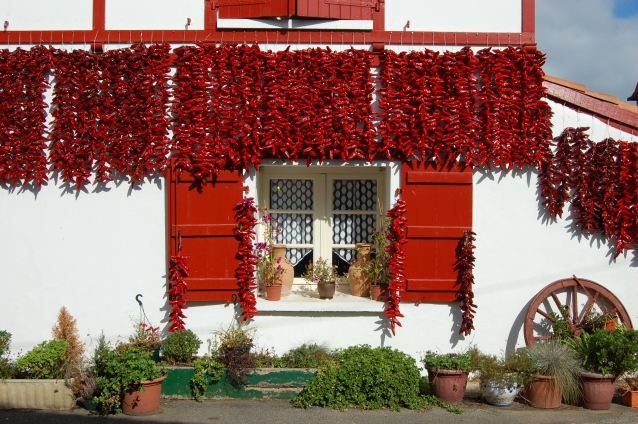
The going was much easier in the descent and before I knew it, I was in the village of Amaiur or Maya in the Vasco language.

img-20161001-01216

I had to go through the village and back along the main road for twenty minutes to find the Casa Rural, where I had booked a room for the night.

Amaiur to Ziga (18 km)

Sunday, 2 October, 2016

To avoid having to walk back along the main road, my host showed me a path which he said was a shortcut back to the village.  Unfortunately, he omitted to check whether I had a brought a machete with me, for in parts the ‘path’ was overgrown with brambles and nettles. I eventually emerged in the middle of the village with some scratches and stings, quite convinced that my host had not used that path in recent years, if ever.

img-20161002-01217
Looking back at Amaiur

For the rest of the day the going was relatively easy, at least when compared to the previous day.  Lots of descending and ascending, always ending up higher than the last ascent.

img-20161002-01220
‘Tomb-stone’ fencing

The route passed through Arizkun, Elizondo – the largest town in the Baztan valley, and Irurita.

img-20161002-01221
The central plaza of Irurita
img-20161002-01222
A curious horny cow

Finally, after a last ascent, the village of Ziga came into view.

img-20161002-01224

Ziga

Once again I had a room in a beautiful Casa Rural, run by a charming couple.  There was no restaurant in the village, but the woman made me a baguette filled with cheese and ham and included a bottle of local wine.

Never has such simple food tasted so good.

And I slept through until dawn, and the ringing of the church bells.

Urdax

Cambo-les-Bains to Urdax (28 km)

Friday, 30 September, 2016

After my experience of walking from Ustaritz to Cambo-les-Bains, I did not expect there to be a convenient path or a quiet country road to Espelette.  So for five kilometres I walked along a very busy main road, frequently stepping well back and holding on to my hat every time a monstrous truck came hurtling by.  And I lost count of how many drivers I saw talking on, or fiddling with, their phones.  It was a relief to get off the race track and into Espelette.

Espelette is an attractive town, famous for its production of dried and powdered red peppers.  Apparently they are sold at a covered market every Wednesday.  As it was Friday, I was quite happy to have missed the market, as I am not a great enthusiast of crowds.

17dd1c1198d989e46897e9584bf428d0
Red pepper drying (photo from interet)

But my objective in going to Espelette was not to go shopping, it was to pick up the Camino de Santiago, which would lead me up the Baztan valley, over the Pyrenees and on to Pamplona.  I spotted the typical yellow arrow marking near the church, but I was not able to find a second.

img-20160930-01205
The church of Saint-Etienne in Espelette

I asked several people for directions, but without luck.  Even in a busy bar nobody seemed to know anything of it. Eventually I found a second and subsequent yellow arrow marks at the edge of the town, and started off in what I believed to be the direction of the next village, Ainhoa, which was about 6 km away.

But after ninety minutes of following the yellow arrows, of toiling up and down steep rocky paths, seeing only deserted farm buildings, and not a soul in sight, I started to feel uneasy.  In the distance I saw a couple of modern looking houses on the other side of a valley, one with a car parked outside.  So I set off down another steep rocky path, across a stream and up the other side.  By the time I got to the houses, nearly two hours had elapsed since I left Espelette.

A woman answered my knock.  She informed me that she knew nothing of a path to Ainhoa or a Camino de Santiago, but she could direct me to the main road, which involved retracing much of the way I had already come, and following another country road.  I was quite lost.  I eventually came to the main road from Espelette, with four kilometres to go to Ainhoa.  In three hours I had progressed two kilometres towards Ainhoa.

The rest of the ‘hike’ along the main roads, through Ainhoa and on to the Spanish border at Dantxarinea, was relatively uneventful, but quite tiring, as it was a hot day.

Dantxarinea was something of a surprise to me.  I expected a small run-down border town, no longer with a function, since the abolition of EU borders.  Instead it turned out to be a bustling modern commercial centre stretching along both sides of the main road, with five service stations and very many large stores plus bars and restaurants.

Once across the border, the route was clearly marked, and more than once I was greeted with the traditional – buen camino.  It felt as if I had come home.  The road gently descended, until 45 minutes later I was in Urdax.

urdax
Urdax with its monastery (photo from internet)

Why did I become so lost earlier in the day?

Until I go back and retrace my steps, I will not know.  But I did receive something of a consolation in being told that evening, by my host, that it was quite a common experience among pilgrims starting in France.

And what had intended to be a walk of about 18 km, for me ended up as 28 km.